Greetings from the United States Virgin Islands (USVI)!
Yes, we’re on Indigo Lady. Yes, it’s going well and we’re enjoying ourselves. I haven’t posted this season because I haven’t been feeling the blog. I’m feeling it a little now, so figured I should go with it. Don’t worry, I’m not going to go into detail of the nearly three months we’ve been onboard. I will summarize.
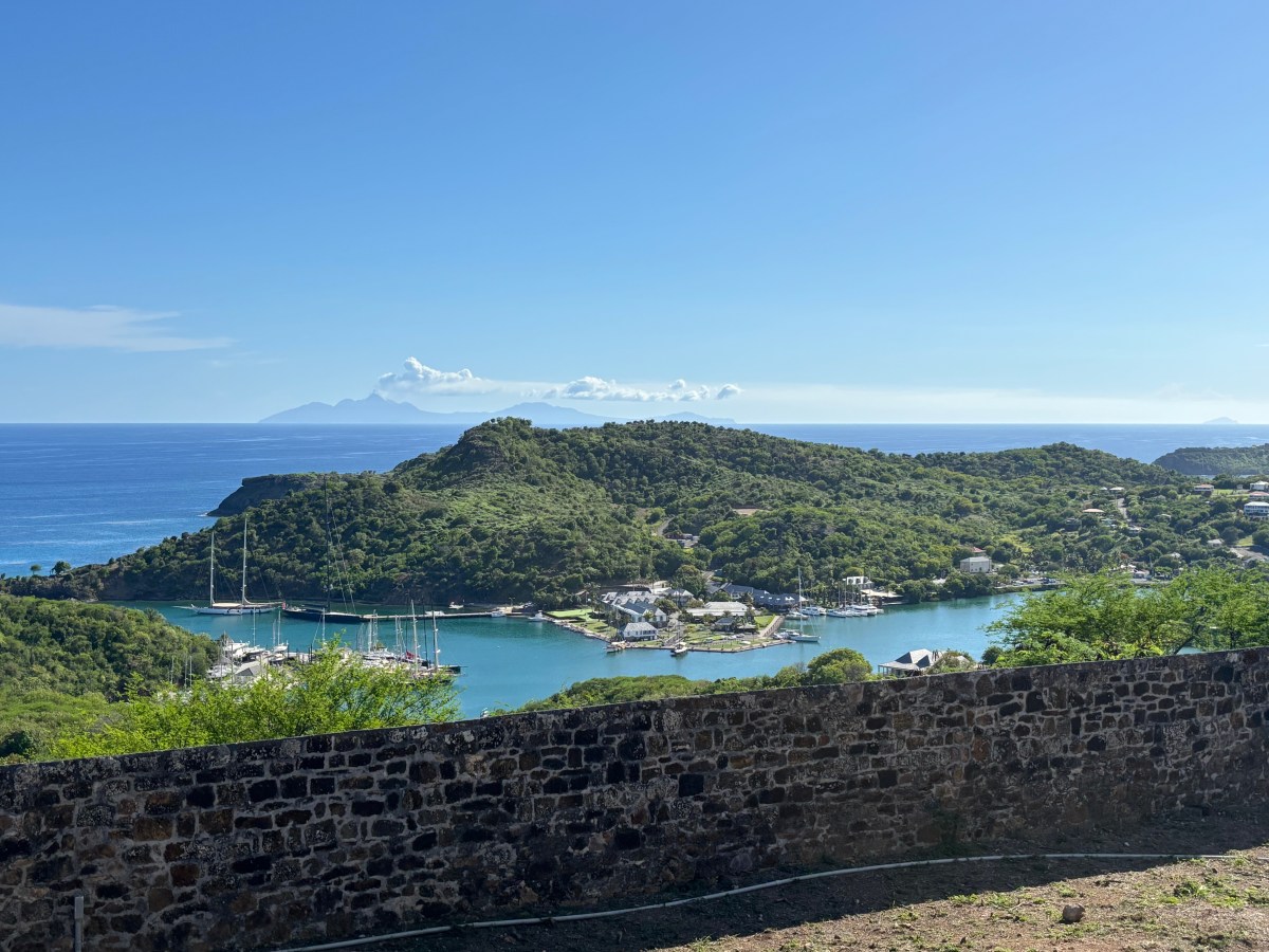
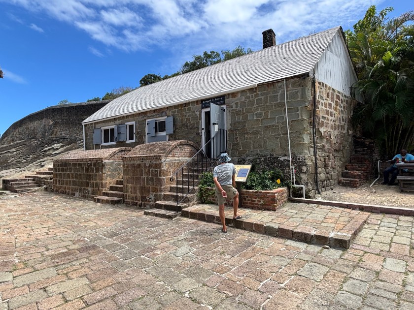
We got to St. Kitt’s on January 5th. Lady was launched on the 9th after a little work, a good cleaning, and the application of her new logo and lettering. Then, miracle of miracles, we were presented with a weather window to head to the USVI on the 13th. We were on a mooring in Christmas Cove at the island of Great St. James, USVI by 9:30am on the 14th. It was an uneventful crossing, other than the pod of dolphins that greeted us just after sunrise. That’s always a welcome event!
My folks were onboard with us for most of February. We spent the first half of the time in the USVI and the other half in the British Virgin Islands (BVI). We got to spend time with our friends Juan and Alison who live on St. John. My folks were on board with us when we met them in Mayaguana, Bahamas in 2023, so they were excited to catch up with them again. Despite being in their 80s, my folks still snorkel with us, although we need to be sure to choose calm conditions. Every afternoon involved at least one game of cards (what Dave grew up calling Michigan Rummy). They were happy to be someplace warm while snow and below freezing temperatures rocked the northeast US. That late February blizzard messed up their return flight, but they eventually made it home (three days later than scheduled).
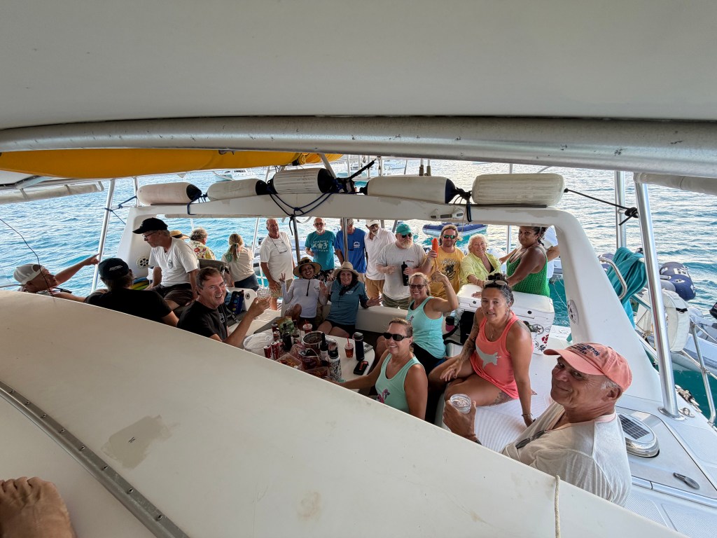
Shortly after my folks left, Juan joined us aboard Lady and accompanied us to the Salty Dawgs Sailing Association’s BVI Rendezvous March 3-10. It’s well known in the cruising community that one should avoid cruising to a schedule. Unfortunately, it’s difficult to organize a meetup without scheduling it. So we were presented with big winds and bumpy rides between islands the entire week. Alas! None of the trips were very long, so we managed. The reward was a week of socializing with a wonderful group of people. The final event was supposed to be a raft-up of boats off Prickly Pear Island in North Sound of Virgin Gorda. (A raft up is when two or more boats tie up to each other at anchor.) Unfortunately, it was too windy to do this safely without damaging boats. We couldn’t do a dinghy drift, because we would have drifted all the way across the sound. So we settled on tying dinghies up to an anchored catamaran. We volunteered Indigo Lady. It was still bouncy on the water, and the sun was beating down hot, so we just invited everyone onboard. At one point we had about 24 people in and around our cockpit! The lowest step of our sugar scoops (steps on our stern) was under water. We had a blast! It was a wonderful way to end a fun week together.
We returned Juan to St. John and enjoyed dinner that night with his wife, Alison, and her mother who was visiting from Florida. We took the next day to decompress from the week of socializing (and bumpy cruises). Then we dubbed our way back to Brewers Bay on the west side of St. Thomas, where we’ve made friends with several of the cruiser inhabitants of that anchorage. It’s been nice to find this little “neighborhood.” We spent a few laid-back days snorkeling, and spending a couple of afternoons/evenings chatting and playing games with our neighbors.
Eventually we returned to Charlotte Amalie to do another mega provisioning run with a rental car. Then we headed back to St. John to meet up with our friends Ian and Linda who were vacationing on land there. We spent this past week meeting up with them at some point each day, exploring the island by car and doing some snorkeling and hanging out on Indigo Lady.

Linda flew back to the US yesterday afternoon and Ian is now aboard with us for the next week and a half. We plan to launch hookah to finally do some diving rather than just snorkeling. Looks like the next three days will provide an opportunity to dive a few of the more exposed dive sites.
Our friend and neighbor, Jessica, is coming to visit us in mid-April. She’ll be our final visitor this year. Then Dave and I will spend our remaining time dubbing around the US and British Virgin Islands before hauling out for hurricane season and flying home.
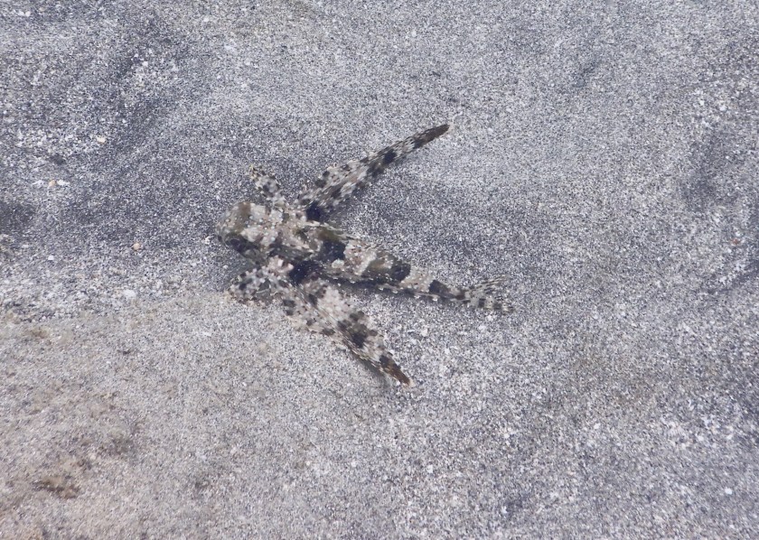
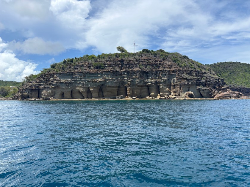
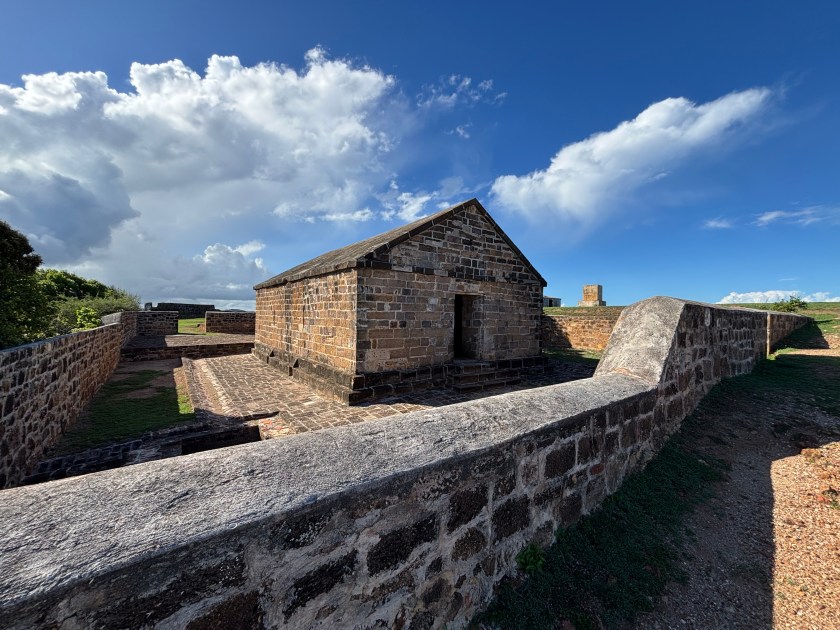
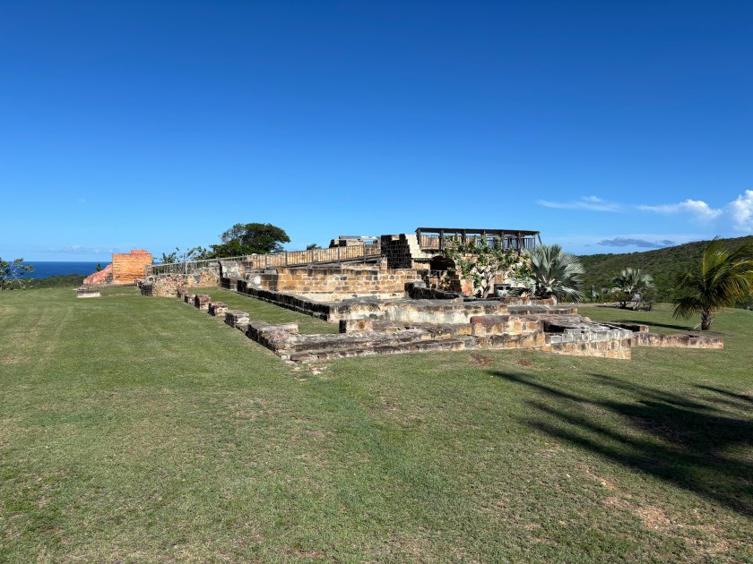
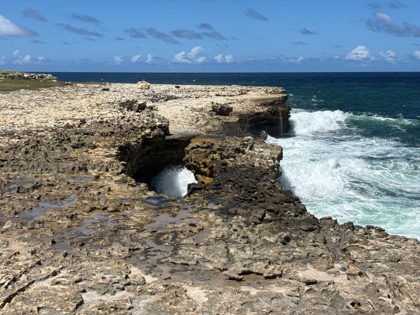
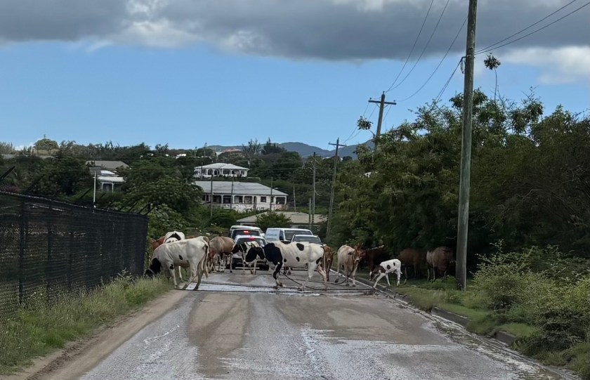
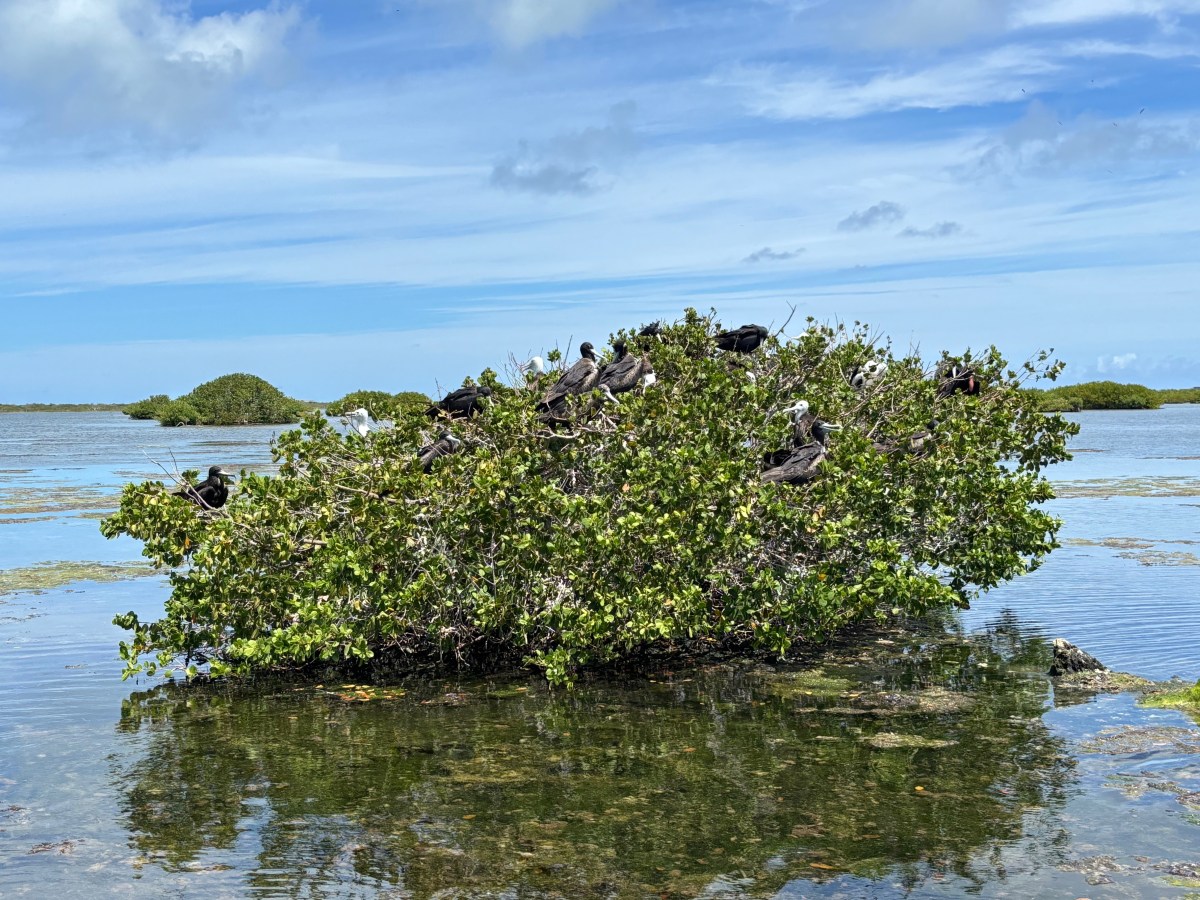
That’s our cruising season in a nutshell. We spent our 2024 cruising season here, so I haven’t taken many photos on land or under water. When we snorkel/dive these days, my focus is on capturing photos of fish I don’t already have photos of. Otherwise, we’re pretty much just living our lives, but on a boat in warmer climes.
If the mood strikes me again, perhaps I’ll update you about our potentially shifting cruising plans. Ha! Now I’ve got you wondering. Well, you’re just going to have to wait…
Until next time, stay safe and take care of each other.