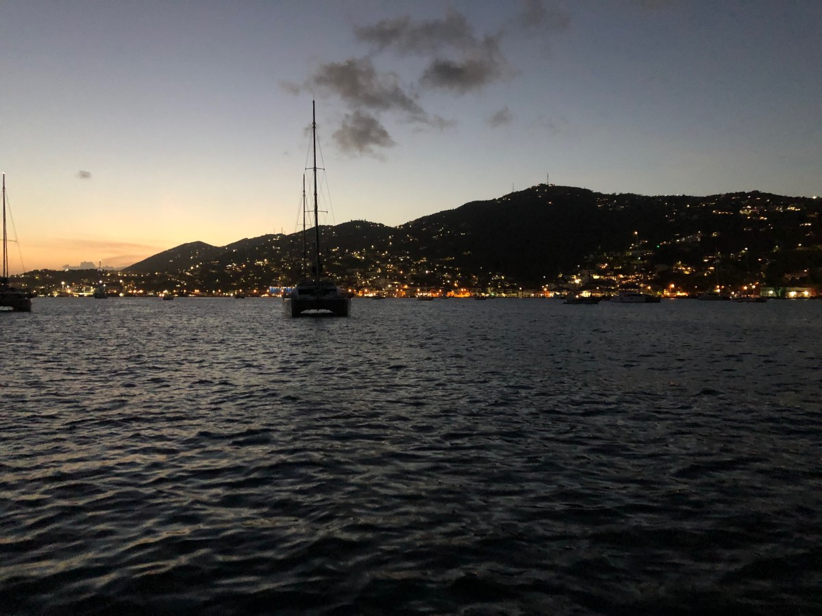
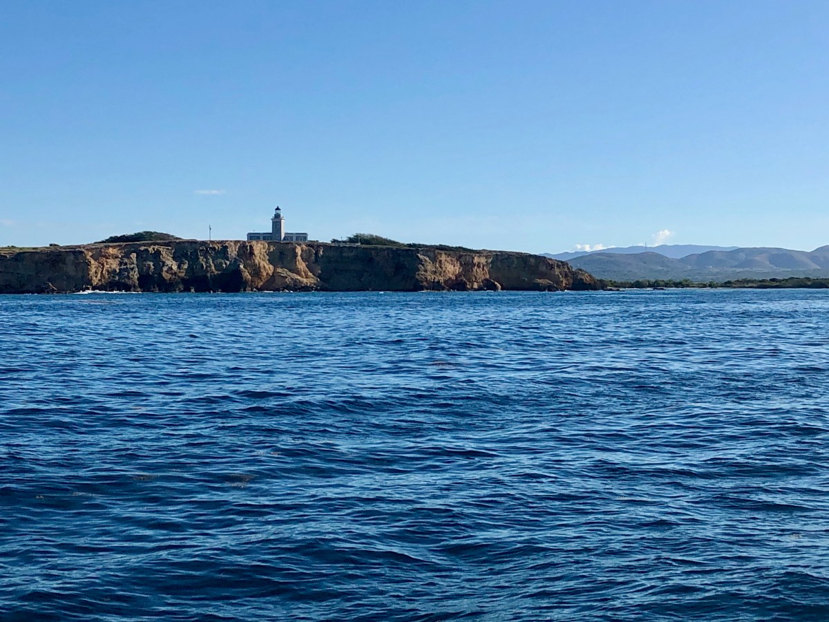
The three buddy boats departed the USVI at 10am on Tuesday, May 16, for the 95 nm run to St. Martin, our last overnight passage this season. It was a bit bumpy for a while once we cleared the protection of the BVI land masses. There wasn’t a lot of slamming, fortunately, just rolling in confused seas. Those eventually settled to the wind and a single wave set, on our nose, of course. From there on out the trip was uneventful, and though our bows got an occasional light splash, we never buried them. We averaged just over 4 kts while we were in the current, over 5 kts when not in the current, and only dropping to 4 kts when we had to clear our propellers of sargassum. Making a night passage with buddy boats is wonderful! It’s nice to know there’s company, or help in a pinch, but it’s also just fun to enjoy a little radio chatter on those long, dark night watches 😊.
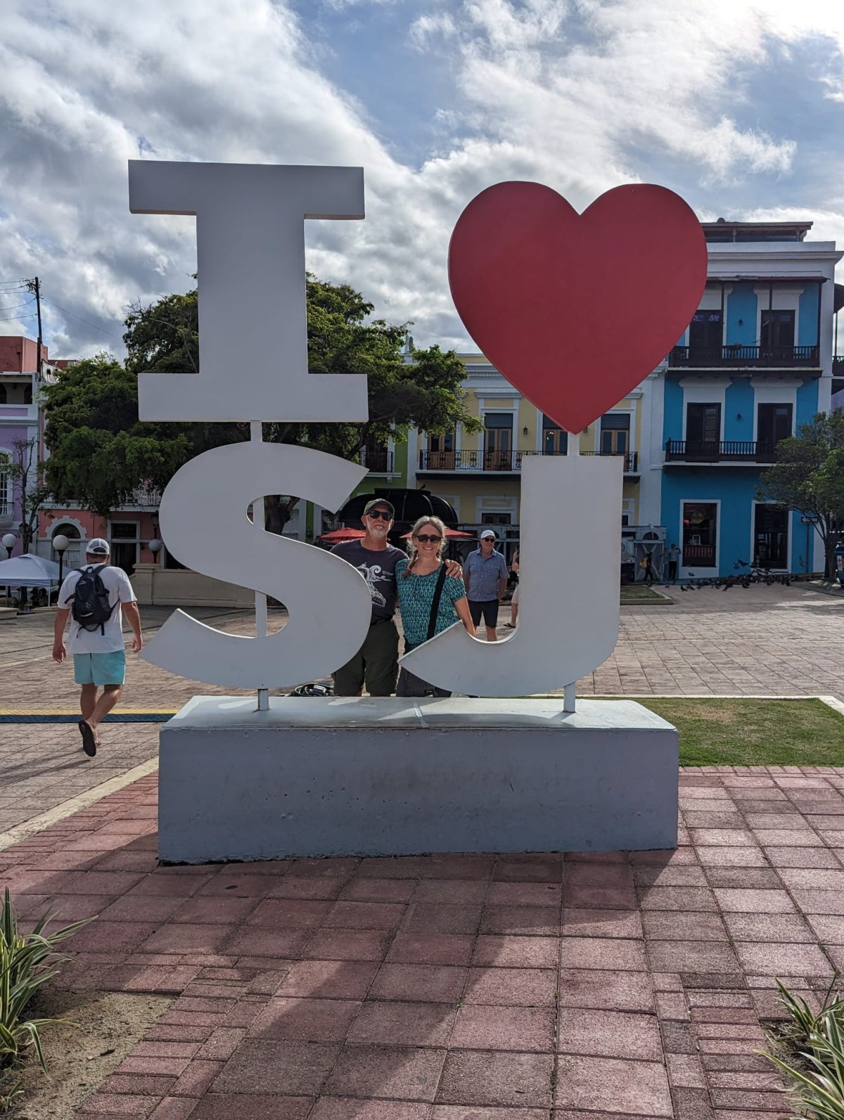
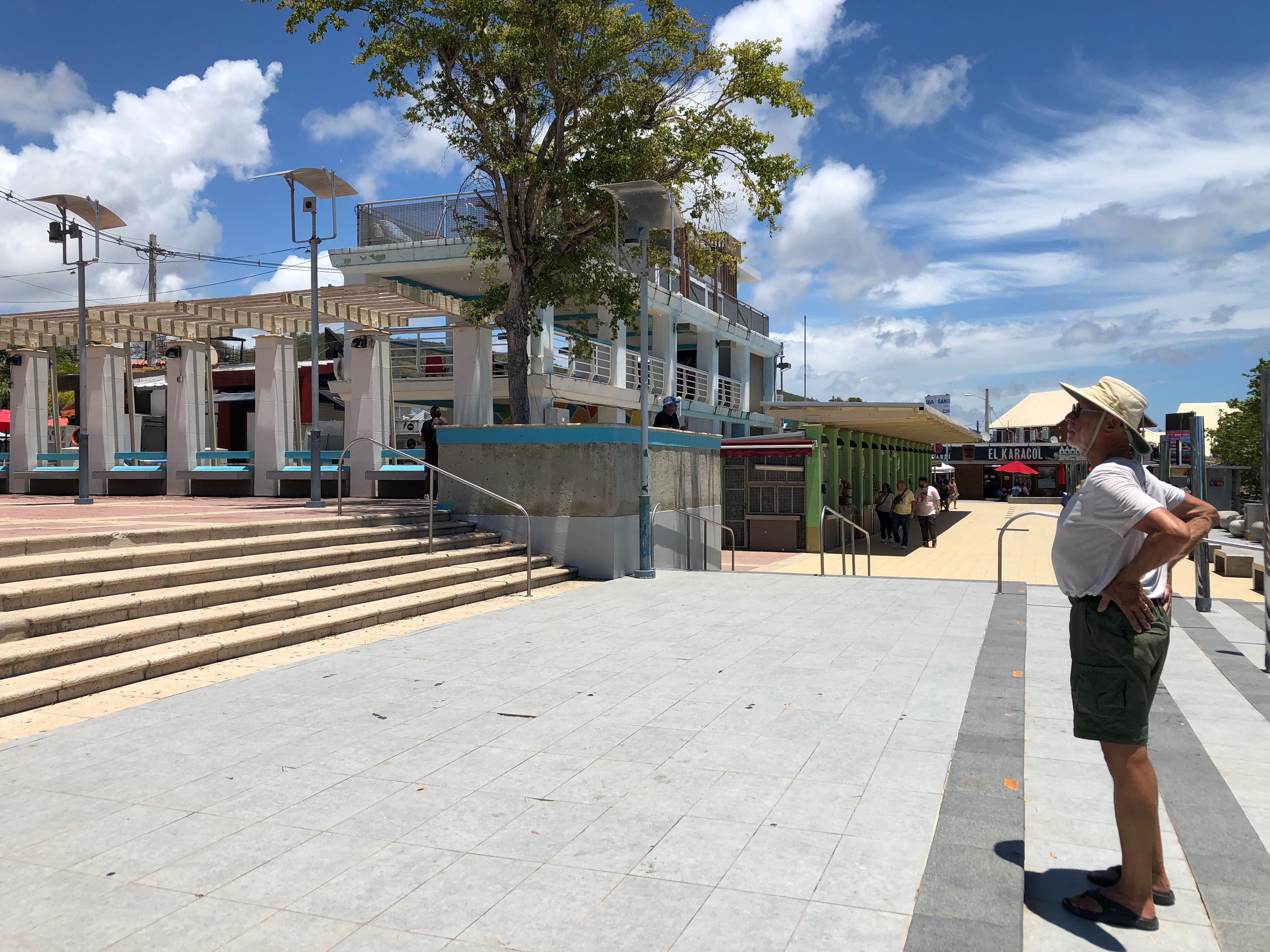
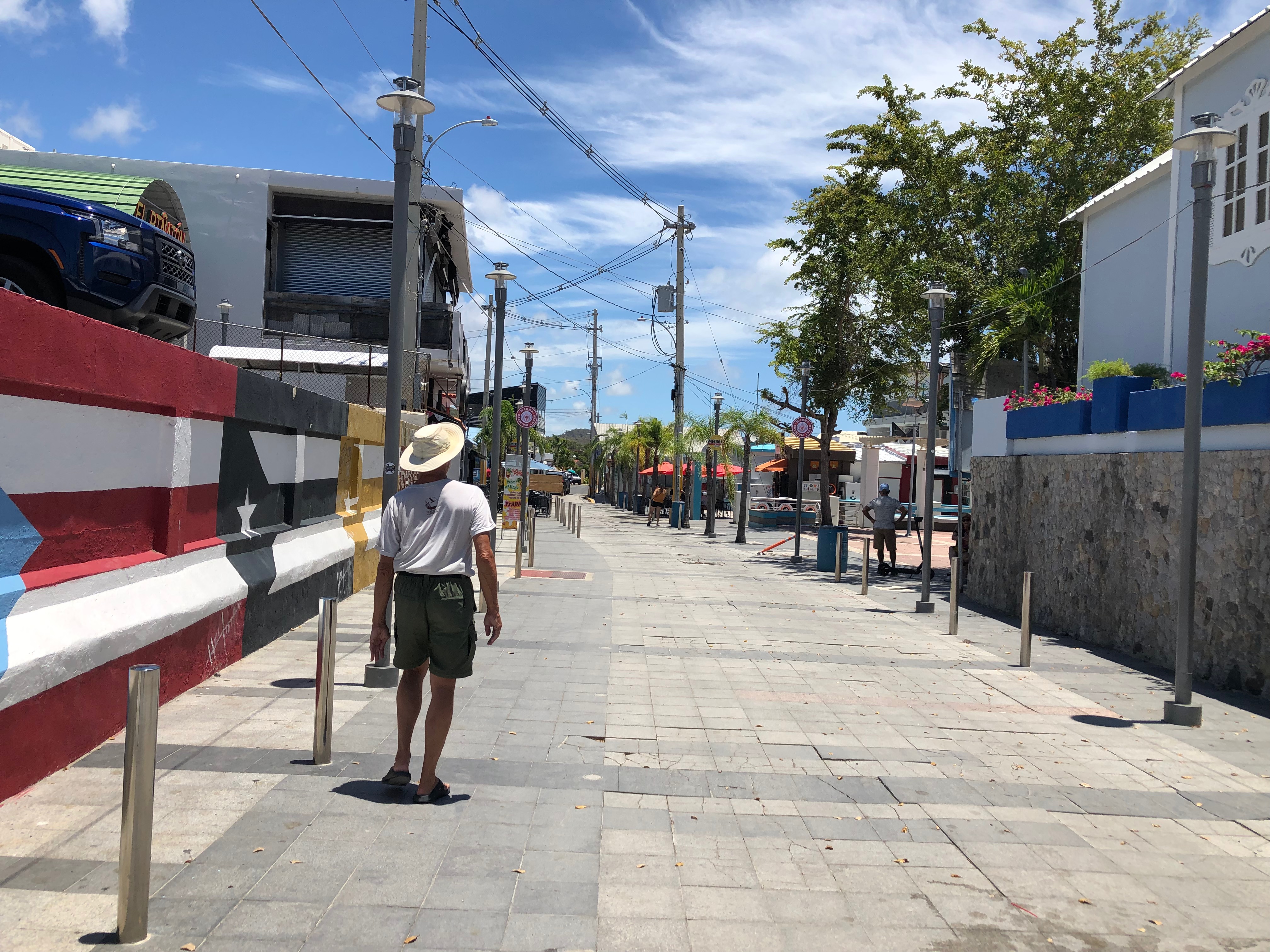
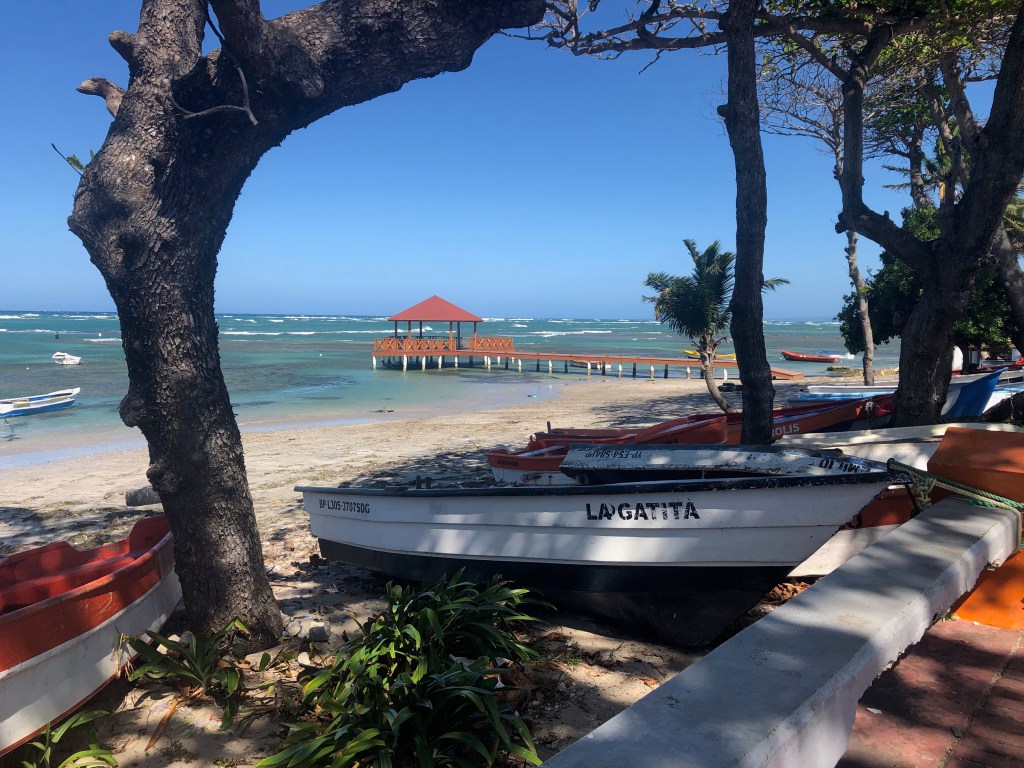
We were all anchored in Marigot Bay, on the French side of St. Martin, by 7am. We couldn’t check into the country until 8am, so we had a little time to tidy up, run up our Q-flags, and rest. St. Martin is the smallest, two-nation island. Two-thirds of it is French and the other third is Dutch. For cruisers, checking in on the French side is easy and free, so that’s what we did. Once cleared in, one is free to cross between the French and Dutch sides by land or by dinghy at no cost and without needing to present a passport. So, at 8am we loaded into our dinghies and went to Ile Marine, a local marine store, to use their check-in computer. Once we figured out the non-qwerty keyboard and the French names for countries and anchorages, with the help of the nice man behind the counter, we were in! We continued into town for a walk about and breakfast. We found a lovely restaurant that specializes in eggs benedict, but I opted for the French breakfast of half baguette with butter and jam, croissant, fruit juice and tea. Welcome to St. Martin! Then we did walk about a bit so Caretta and Wild Horses could buy local cell plans before returning to our boats to rest after the long passage.
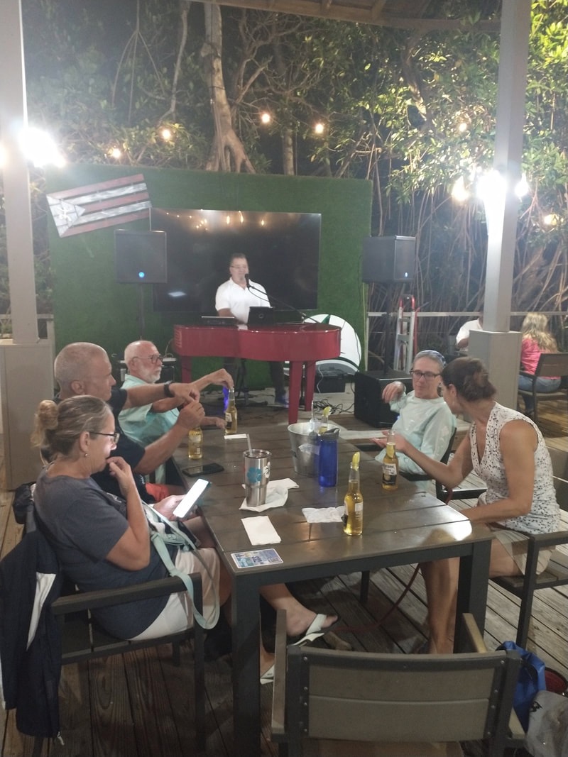
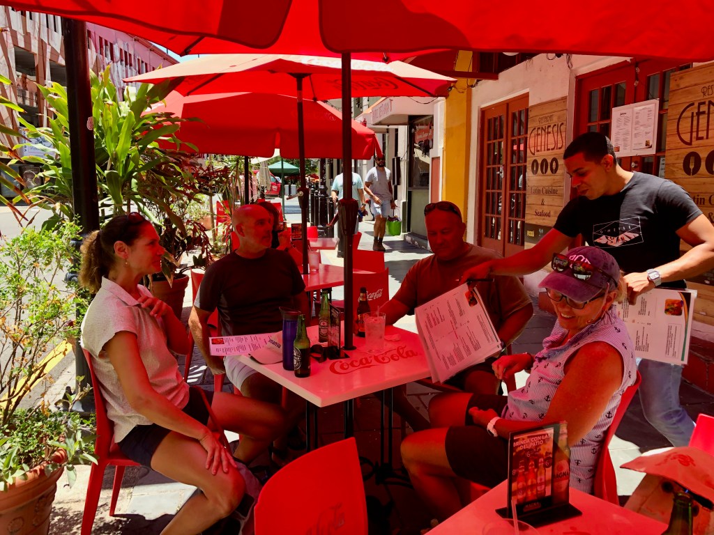
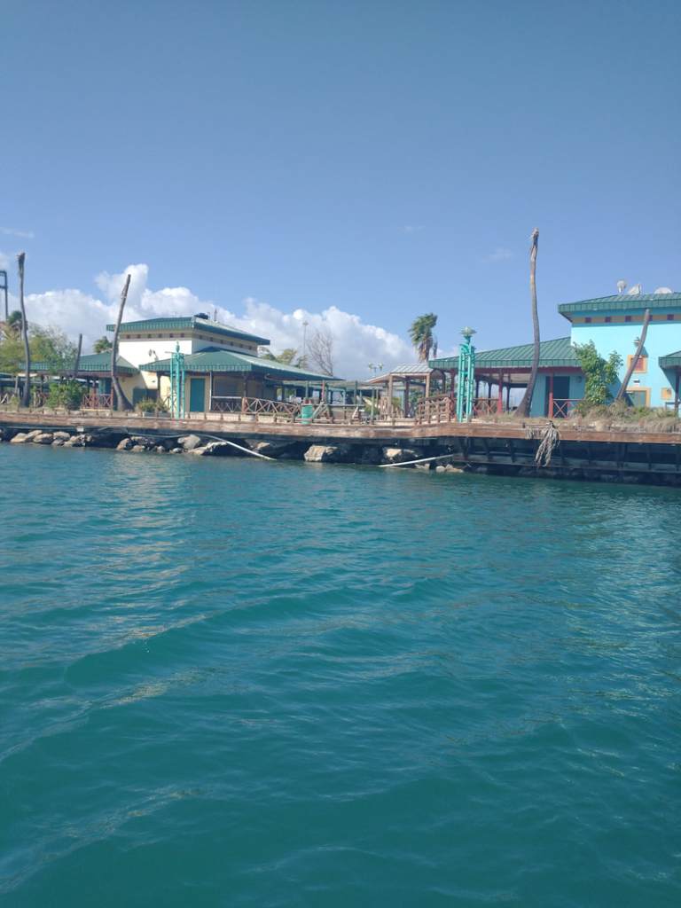
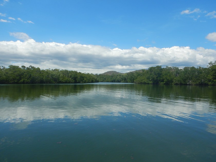
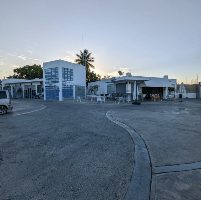
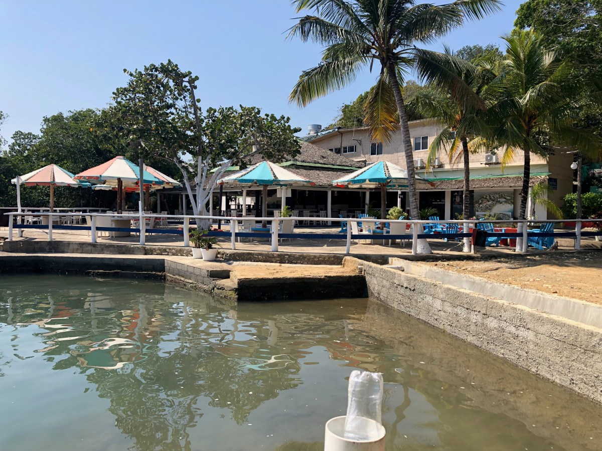
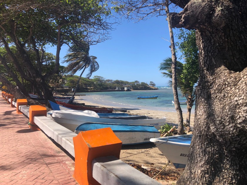
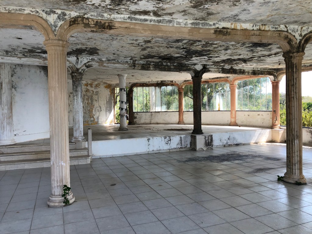
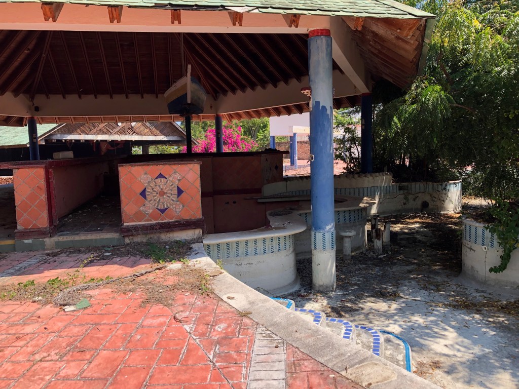
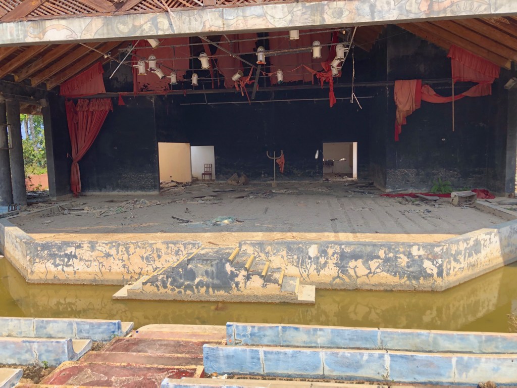
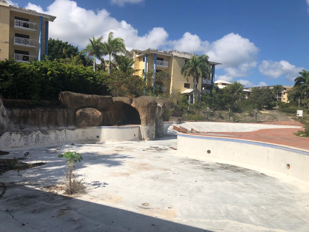
We spent seven nights at anchor in Marigot Bay, off the town of Marigot. It provides very easy access to restaurants, shops, groceries, and more, all within easy walking distance. It is also a short dinghy ride through an interior lagoon to get to the Dutch side. We filled our days with boat chores, rest, socializing & trip planning on Indigo Lady, and trips ashore for fun, food and provisions. Dave and Barry assisted Mike on Wild Horses in diagnosing some ongoing electrical issues he’d been having. They put their heads together, and after a couple of marathon sessions, were finally rewarded with solutions. Mike and Victoria took everyone out for breakfast one morning as a thank you. So sweet! I indulged in too many croissants and baguettes during our stay, but oh were they good! We went ashore after dinner one night for drinks (and for some of us, dessert) and live music at a restaurant Mike & Victoria had found. It was two guys, one on harmonica and one on electric guitar, doing an amazing job covering a bunch of familiar American tunes, as well as some French ones we did not know. They were full of energy and we enjoyed ourselves very much! We dinghied to the Dutch side to a couple of marine stores one time. Another time we took our dinghies through the lagoon to the Dutch side and out into the open ocean on the south side of the island. We were hoping to land at a beach bar where folks watched people line up at the end of the airport runway and get blown around by the engines when the jets took off. We braved the big waves only to find there was no safe way to land on the beach. Oops! So back we went through the big waves and into the lagoon. At that point we really needed drinks, so we stopped at the Dinghy Dock Bar & Restaurant for snacks and libations. Fun place!
Perhaps the most fun activity we engaged in was an escape room. I discovered that there is one on the Dutch side of the island, housed at the Dutch Blonde Beach Bar. When I ran the idea past our buddy boats they were all in! So I set it up (once I learned they allowed dogs). The real trick was getting there, because we couldn’t take the big boats and it was too far to dinghy or even to dinghy part way and then walk. So I called Dutch Blonde and got the owner, Sunil, and asked if he had any ideas. When I told him we were concerned about public transit with a big dog, he offered to drive us for only $40 round trip for our whole crew plus Ocean. Sweet! Sunil met us in Marigot with his 9-passenger van on a Saturday afternoon. What a great guy! Between the trip there and back he gave us a narrated tour, plus history and politics of the Dutch side. He even stopped at a scenic vista so we could take pictures. He also told us the story of how he ended up in St. Maarten (spelling for the Dutch side) owning a brewery (with no past experience) and opening a restaurant/bar with escape rooms. He knows how to tell a good story.
The escape room was awesome! We were captives on a pirate ship and had one chance to escape while the pirates were ashore plundering and pillaging. We did not succeed in escaping (we got close), but we had a blast trying! This one was challenging. There were three rooms to get through with lots of locked things to open and fun puzzles to solve. Only Victoria and I had ever done an escape room before; the rest were newbies but got right into it. It was fun to see how everyone gravitated to certain tasks. We had so much fun, we were barely bummed that we didn’t successfully complete it. At the end, the guy who resets the rooms let us ask questions about the parts we didn’t finish so we could see the whole picture. I look forward to coming back next season to try another room!
After the escape room, we stayed for drinks and an early dinner. They make amazing, Thai-inspired tacos that we all enjoyed. I had a pina colada, but everyone else enjoyed the locally brewed beer. Sunil chatted with us for a bit, and even shared a shot with us of some yummy, fruity thing his bartender concocted for us- on the house! Then it was time for Sunil to bring us back to Marigot. We left him with hugs and much thanks.
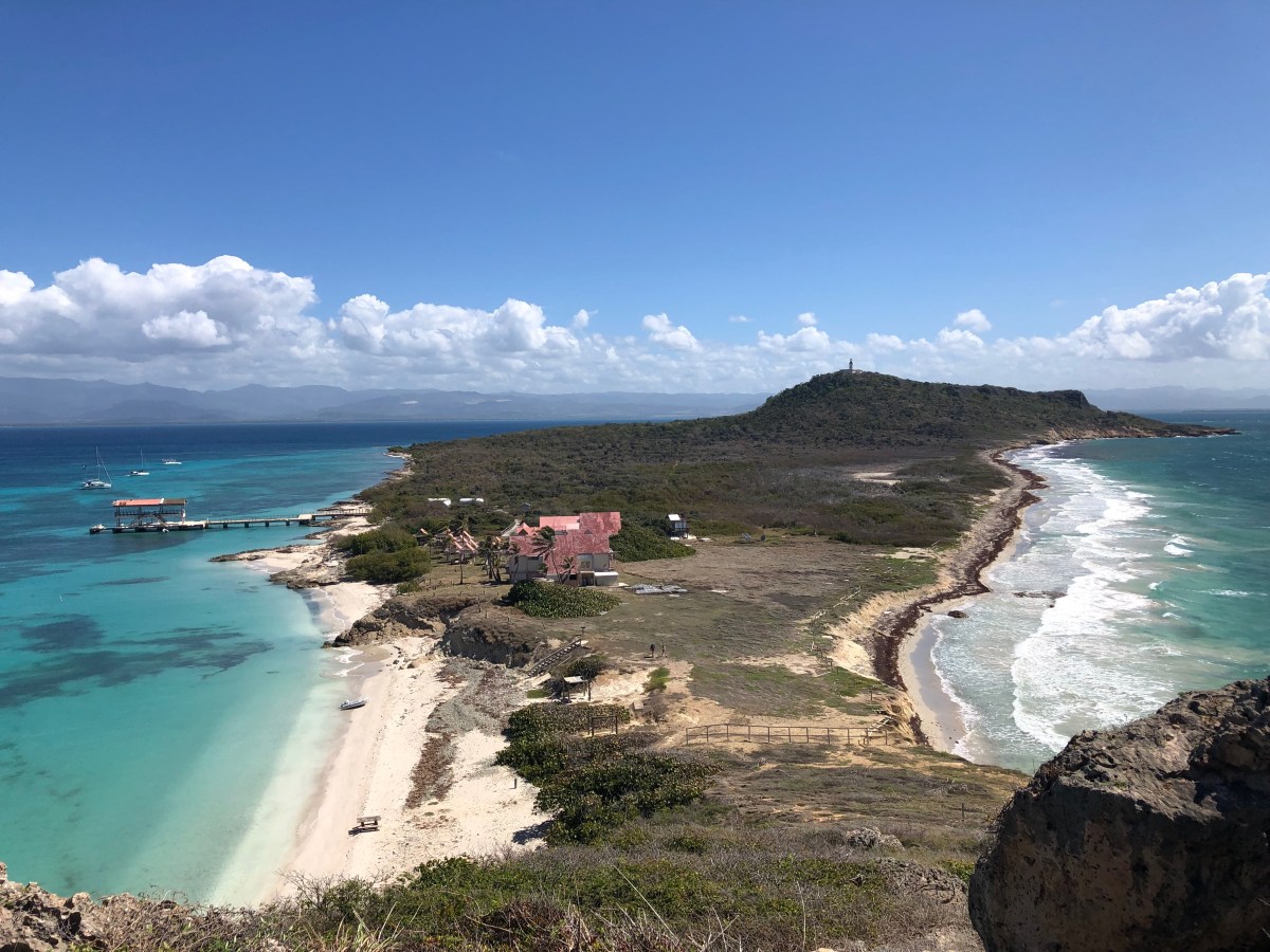
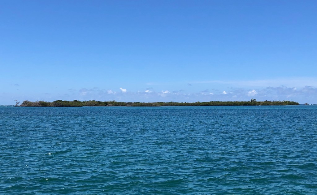
Before departing St. Martin, we wanted to sample another anchorage for a couple of nights, but there was nowhere to clear out of the country from our intended anchorage. We inquired at Ile Marine about clearing out a couple of days early with post-dated departure papers. They said it was no problem. So after a delicious lunch ashore on Wednesday, May 24th, we went back to Ile Marine to clear out and get our papers post-dated for the 26th, our intended departure date. Then we all hauled anchor and headed north to Grand Case Bay. The next day, everyone climbed aboard Indigo Lady and we cruised a little over a mile to a dive mooring at Creole Rock for lunch and a snorkel. There were lots of rocks, very few sponges or corals, but tons of schooling sargent majors! Dave & I saw one sea turtle. Andrea and Barry saw a spotted eagle ray. Mike, Victoria, Andrea and Barry saw an octopus that Barry noticed. Bummed I missed that one!
We wrapped up our stay at St. Martin with drinks on Indigo Lady followed by a final dinner ashore for some great barbecue. We had only sampled what St. Martin has to offer, and we know there is so much more to enjoy next season. For now, this would have to do. The next day, we would all depart for St. Barthélemy (St. Bart’s), which is where I will pick up next time. Until then, stay safe and take care of each other!